Lutong Island Belitung
- Editor
- Rustam Effendie
- Category
- Island
- Area
- North West Coast
- Airport
- HAS Hananjoeddin
- Distance to Tanjung Pandan
- 19 km
- Distance to Airport
- 33 km
- Enterance fee
- IDR 0
- Rating

Uniqueness of Lutong Island
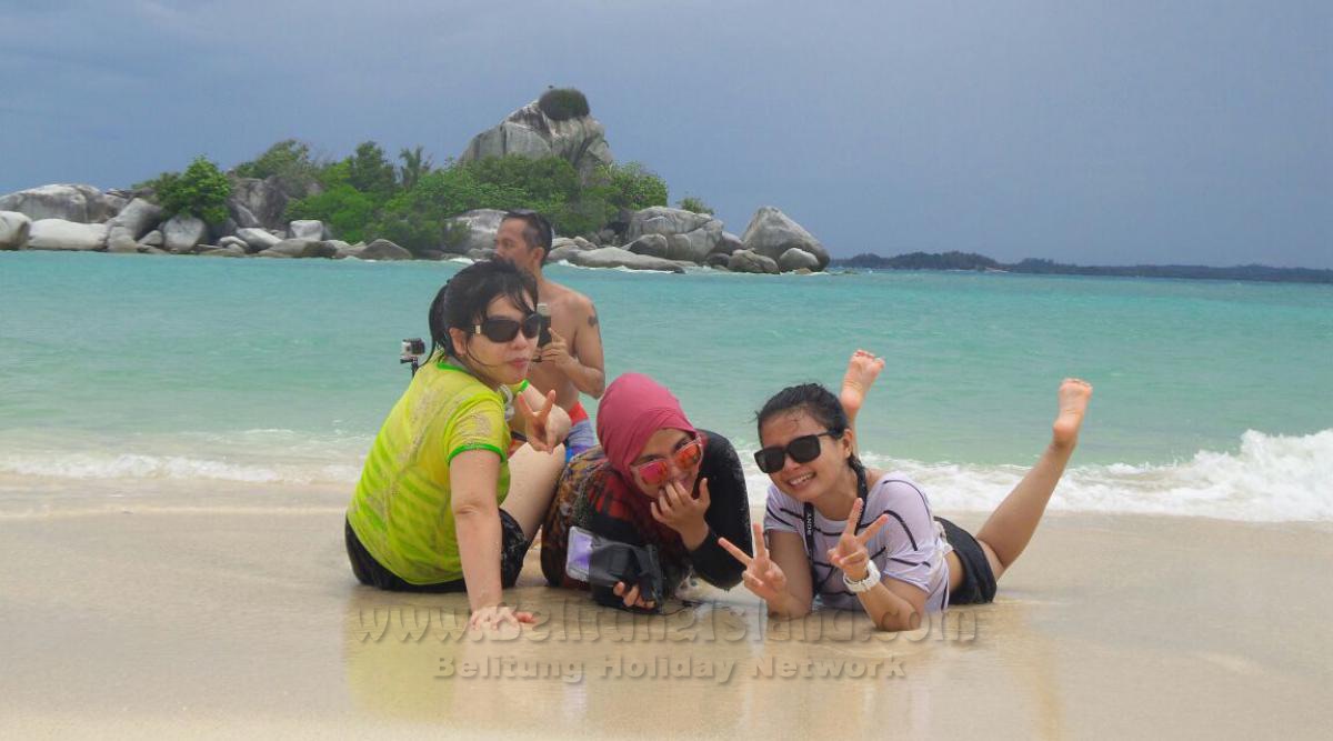
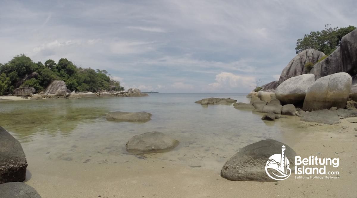
Beside these hill rocks is where you can find a beautiful white sand gulf decorated by artistic granite boulders. One of the granite is the one that shape likes a head of monkey (lutong) that we suspect inspiring the name of this island as mentioned. Surrounding the gulf there are coconut trees and ketapang tree that provide shade if you want to take a relax place to stay. This can become your private beach for your holiday in this island.
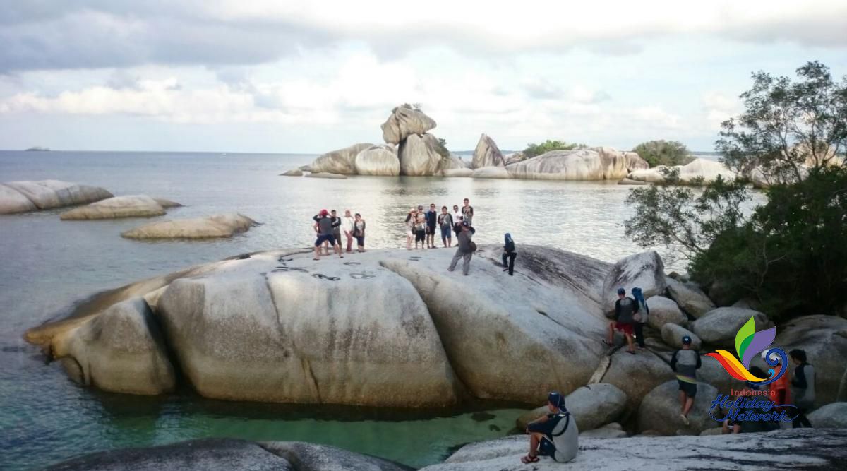
From this gulf, you can continue hiking to climb the hill of big granite rocks in the North. From the peak of this hill you can view the beautiful scenary the Northern coast of the island where the second part of the island is placed. The lighthouse of Lengkuas island can be seen very clearly as well as another island likes Burong Island. The hiking then continue to reach down hill of the rock until reaching the sea. The rock is quite slipery and high slope. At the bottom you will end at the sea as high as chest of adult deep during high tide. During low tide you will land at the sand.
Description Lutong Island
Pulau Lutong is the name of two islands that are merge during low tide and split becoming two islands during high tide. There are no clear record about history why this island named as Lutong (a kind of black monkey). But our speculation people named Lutong because there is a big granite rock form a shape likes a head of monkey (Lutong).
Special Lutong Island
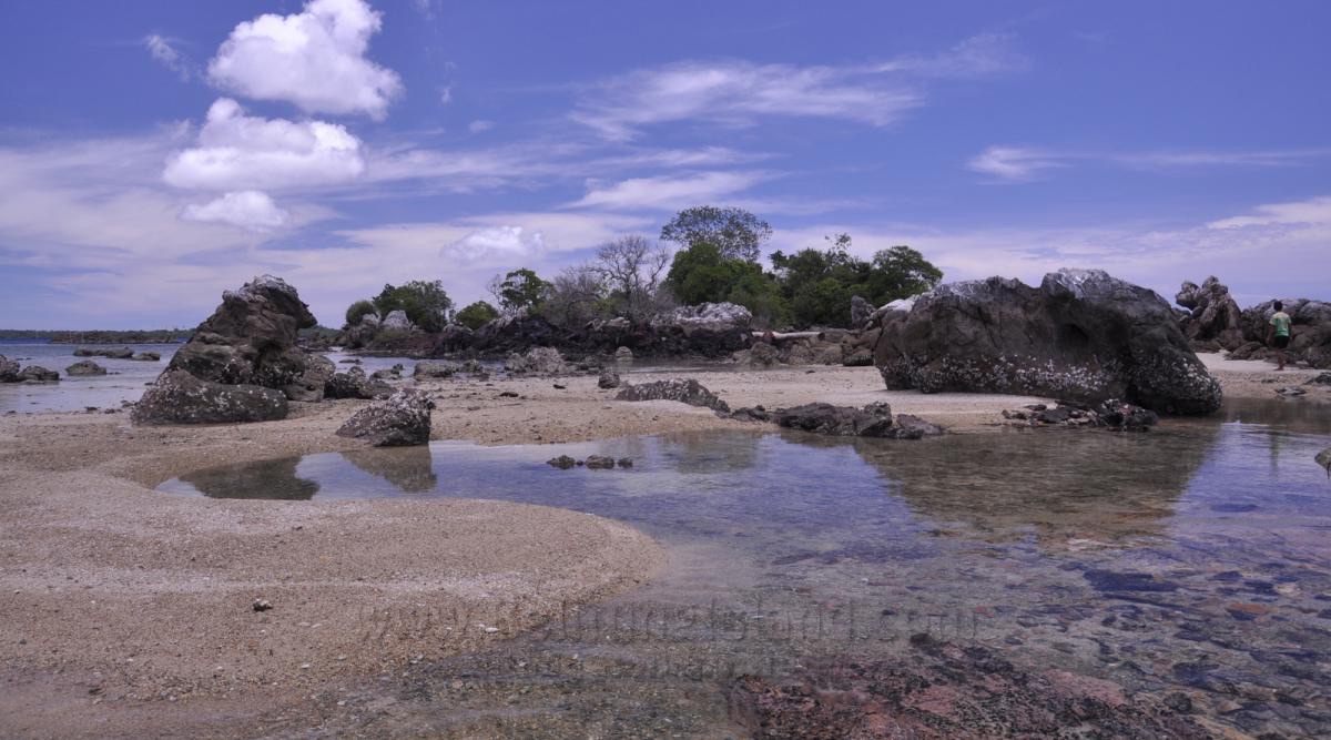
- Two islands merge during low tide
- A boulder form like a head of monkey
- White sandy beach with big sand banks
- Still quite almost no tourist visit this island
Things To Do at Lutong Island
- Sailing in the area
- Swimming
- Playing in the beach
- Photography hunting
This speculation is based on how people of Belitung named other islands such as Burong (bird) island, Batu Berlayar (sail rock) and Batu Garuda (garuda bird rock), where all of those names taken from the main granite rocks that mecoming island of the island which each shape likes bird, sail and garuda bird. This monkey shape rock is placed at the West coast of Lutong island.
Another unique scenary of Lutong island is the white sands peninsula spreading along South coast of the island. If you visit this island, this is the place where you boat usually parked. The size of peninsula is about half of football field. The tourist activities are maily exploring these white sands beaches and walking around circeling the island.
The hiking start from West coast along peninsula walking accross the beach until end of white sand where you will find a hill of granite rocks. Please don't stop here even it will be quite hard to pass this rocks. You can climb accross these rocks or walking through the sea, if during low tide.
Access to Lutong Island
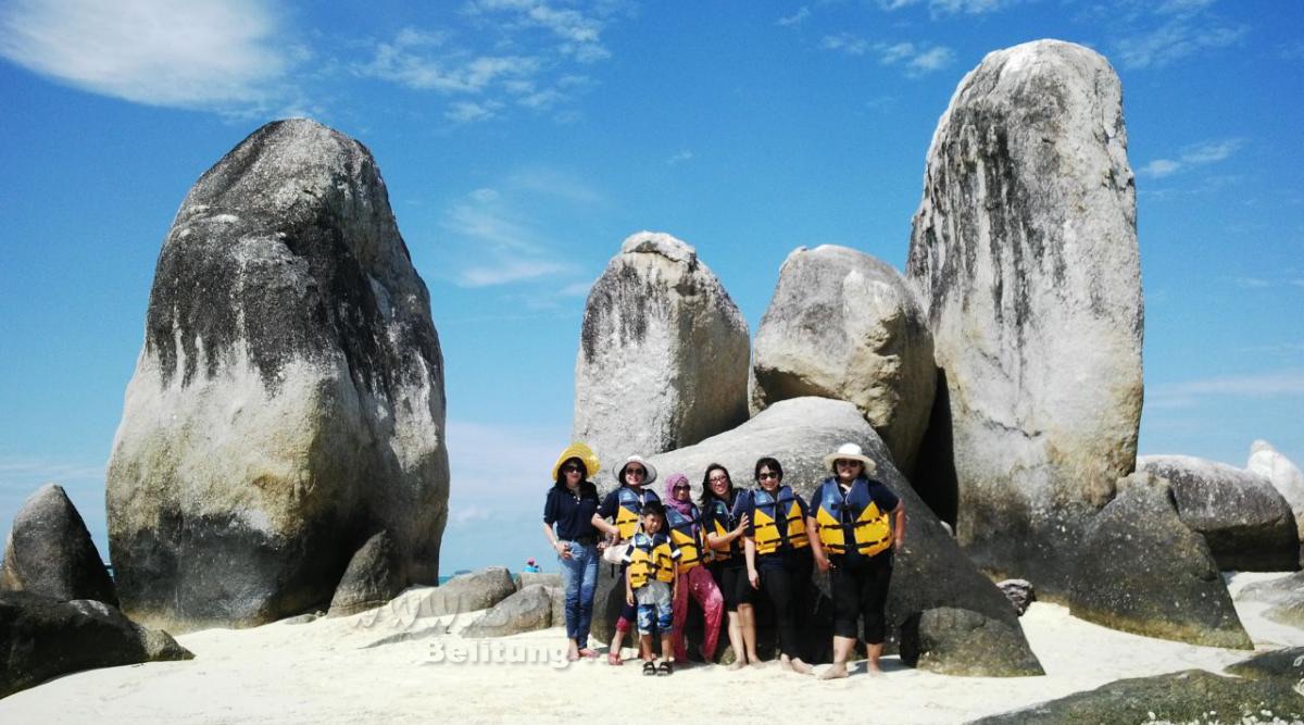
From this place you can cross to the second part of the Lutong island. This part is not less beautiful the main island, most of the surface are covered with artistic giant granite boulder in combination with white sands all accross the shore. During low tide the water deep is just about 10cm and will increase as high as chest of adult person during high tide. The distance of these 2 islands is about 100 meters. We suggest you bring your life vest during this hiking trip, so in case you spent more time in the second island you will have something to float you to swim back to the main island.
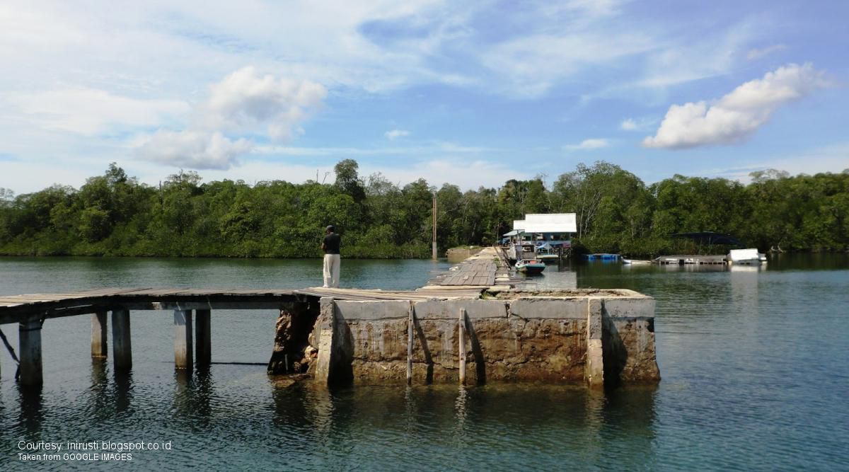
The exploration of Lutong island is end, you can come back to the white sands peninsula at the main island, via the East coast of the island. There is no special object in this side except several granite boulders all accross the shore. The size of main Lutong island is about the same size as foot ball field, while second part of the island is about half size of the main island. Lutong island can be reached by boat from Tanjung Kelayang or from fishery port of Tanjung Binga. This island can be seen clearly from Tanjung Binga and become interesting scenary from fishery port where many tourist usually watch the sunset.





Comments Lutong Island
A remote island that is hardly visited by tourists even though it is very close to the fishing village of Tanjung Binga. This island consists of 2 parts which merge only at low tide.
Reply